DATA COLLECTION FUNCTIONS
- Data Entry
- Validation
- Maintenance / update
- Query
- Data set assembly
- Print and report data
- Formatted reporting
- Exporting data

#######OLD STUFF
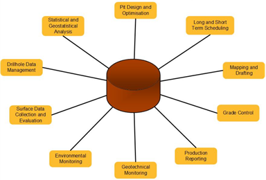 The Single Source of Truth
Our systems collect all your data directly into your primary technical database, while still in the field.
Familiar Intuitive Data Forms
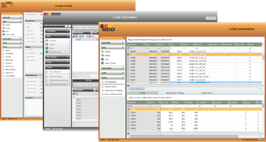
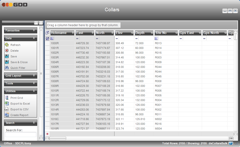
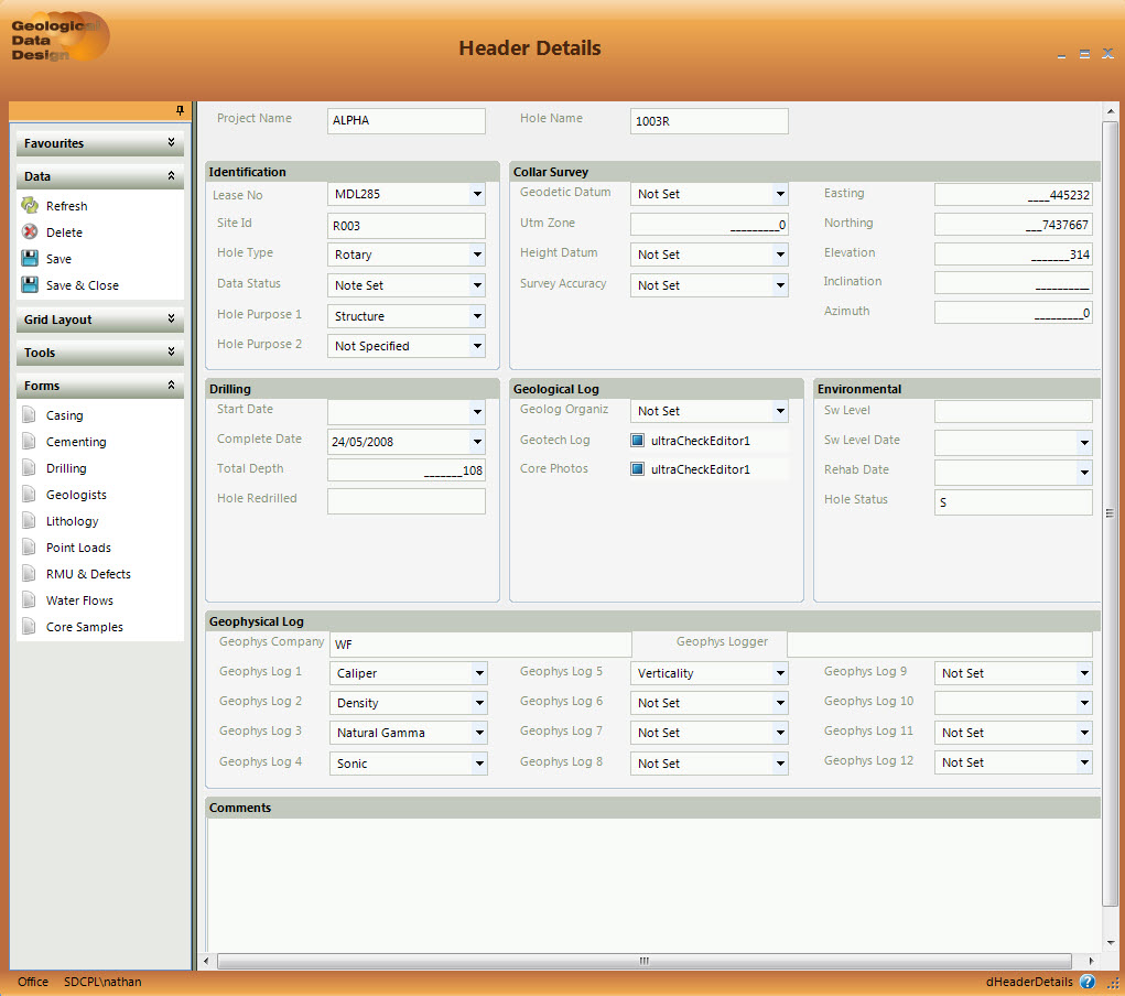
Grid form and detail style data entry forms for manual data entry and data maintenance, customisable by each user.
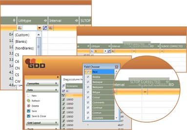
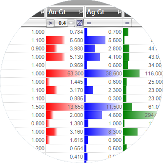
All grid forms can be rearranged as required, and possess advanced sort, search, filter, and grouping capabilities.
Pragmatic Real-Time Integration
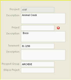
Powerful, simple and rule-based validation as you enter data.

Instant Integration
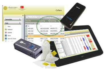
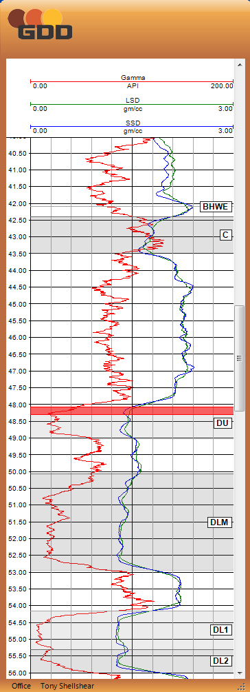
Real-time integration with other devices e.g. GPS, bar-code scanner for coordinates and sample details etc.directly into the forms.
Add Additional Unstructured Data
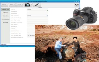
Data tagging to let you collect ANY additional data – photos, hand written or voice notes, videos, drawings, screen captures, device (e.g. XRF) measurements, and integrate them into the database, ‘tagging’ them to the current data collection record.
Track Location Against Reference Maps

Reference aerial photos, satellite, geological, geophysical maps and other images, with respect to your current position and your sample locations etc.
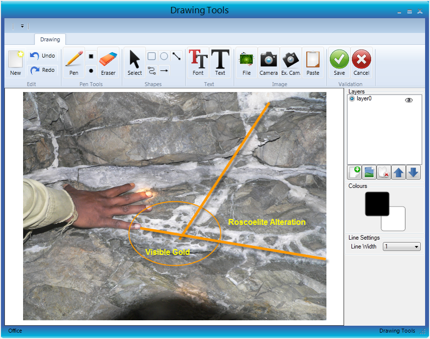
Add Drawings and Annotated Images
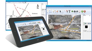
Drawing capabilities to attach diagrams, or annotate photos or screen-captures and again tag them to database records.
Attach Notes, Alerts and Tasks to your Data
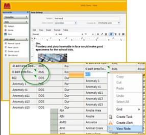
Functions to create additional notes regarding data entries, (existing or new) for follow up later.
Broad Editable Help System
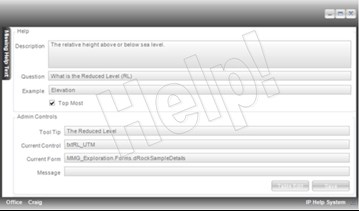
A sophisticated context-sensitive help system that can be configured dynamically, and provides multiple levels of help, including access to detailed reference material.
Powerful, Configurable Data Importing Functions
Powerful data loading functions for importing and integrating data from historical, public or other sources. Bulk data import functions for initial database population and batch data loading.
Two-Way Synchronisation
Automatic, two way synchronisation of field data when connection is detected. The system is capable of full and partial one way or two way replication back to a ‘master’ database, allowing transfer of newly collected data, or distribution of alerts or reference data in the reverse direction. This can be automatic, or on an as required basis.
